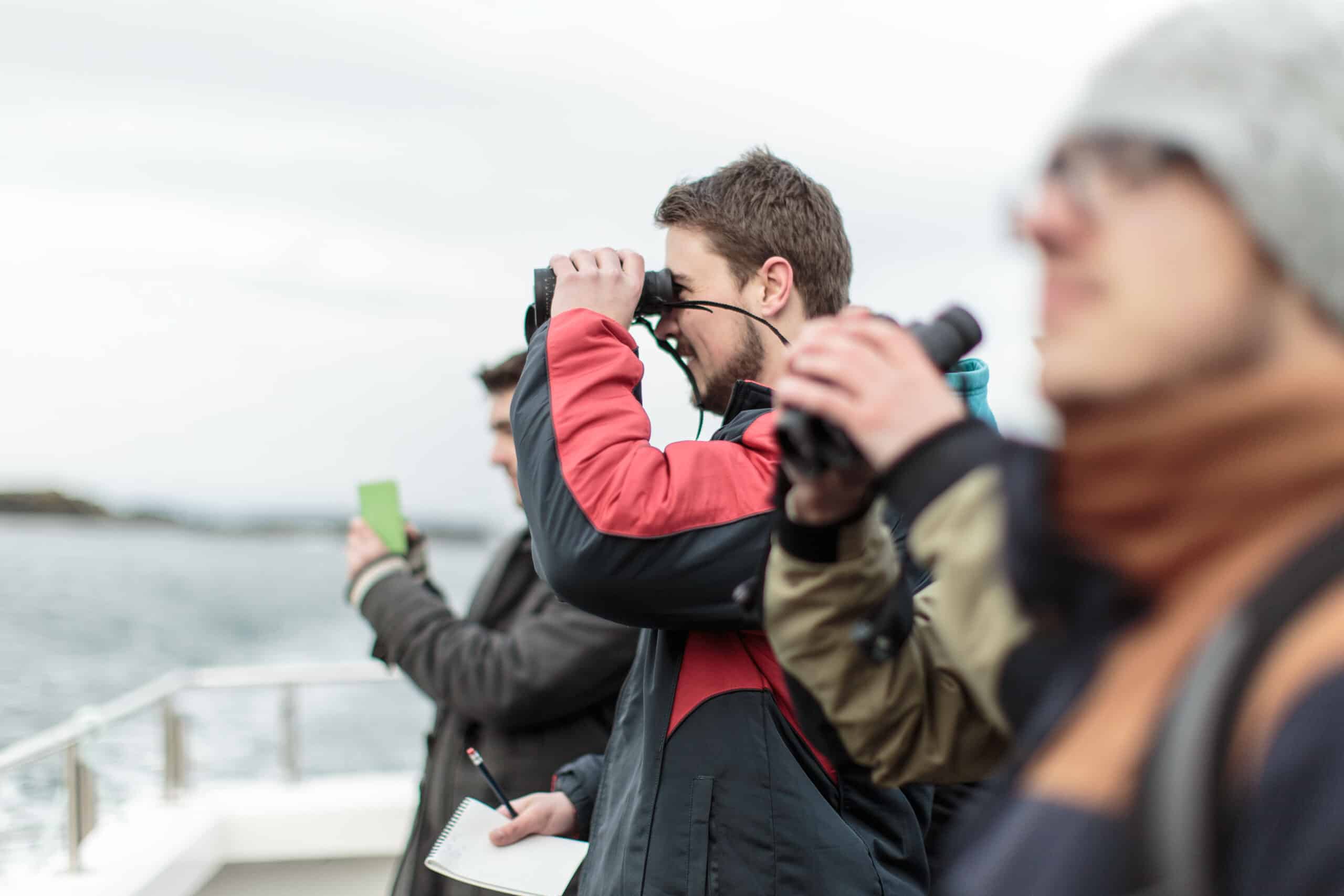


Picture obtaining data within a geographic area from a distance — that’s the reality of working within the remote sensing field. With recent technological advancements, remote sensing data integrated into a geographic information system (GIS) can help us make informed decisions in tackling global issues such as climate change, agriculture, deforestation, and many more.
Indeed, there are many and varied career paths you can pursue within the fields of remote sensing or GIS. You can employ spatial data acquired through remote sensing satellites and other big data sources. You can map, monitor, and understand systems or changes in terrestrial and marine environments. You can teach courses to meet industry demands.
Ulster University (UU), ranked Top 10 in the UK by students, knows this well. Home to the School of Geography and Environmental Sciences (GES), it offers a comprehensive range of postgraduate programmes that blend cutting-edge research with transformative teaching methods — whether that is sampling and monitoring water pollution in local lakes, using satellite imagery to monitor land cover change, or spending a week in Catalonia studying the social context of the independence movement.
When it came time to expand her skill set and enhance her employability, Julia Nikolaus chose UU’s MSc Remote Sensing and Geographic Information Systems programme. The flexibility of the programme stood out to her as she had to balance her career and life with her advanced study.

GES has 25 years of experience in teaching GIS and 20 years of being an online distance learning provider. Source: School of Geography and Environmental Sciences, Ulster University
“I tried to set an hour or two aside each day to work on the tutorials continuously instead of doing it all in a day or two at the weekend,” she says. “As soon as I realised I was running out of time due to other important work commitments, I would contact my tutor to ask for an extension (I only had to do this once).”
With 25 years of experience in teaching geographic information systems and nearly 20 years serving as an online distance learning course provider, GES offers a fully online PgDip/PgCert/MSc in Remote Sensing and Geographic Information Systems — ideal for working professionals looking to advance their knowledge in this field.
What sets this programme apart from the rest is the multiple exit points that allow you to pick a course relevant to your circumstances and needs. The PG Cert, PG Dip and MSc can be completed in one, two, or three academic years, respectively. With each module having assessment deadlines, you can study from anywhere and according to your own time and pace.
Courses have been designed to provide up-to-date content and experience in remote sensing and GIS topics. It incorporates theoretical materials and extensive hands-on exercises covering aspects such as acquisition, manipulation, analysis and interpretation of various forms of geospatial data.

GES online postgraduate programmes have multiple touch points which allows you to gain a range of qualifications at different points in time. Source: School of Geography and Environmental Sciences, Ulster University
The result? You get a programme that satisfies the industrial and public sector demand for science-qualified geospatial personnel who can use remote sensing data and advanced spatial analytical skills to interpret big data and thus inform planning and development in a variety of disciplines.
Learning takes place on Blackboard, a teaching platform that delivers all teaching materials, assignment instructions, links to resources, and other reading materials to you. Delivery methods include lectures in illustrated documents or podcasts and practical exercises, which can be supplemented by additional reading, video content, tutorial exercises, and quizzes.
These are further supported by lecturers and e-tutors through discussion forums, email, phone, or video conferencing tools. Likewise, GES uses a range of assessment methods like practical reports, problem analysis, research projects, presentations, blogs, online tests, and group work to ensure a lively online learning experience.
Plus, in the MSc, you can take a substantial independent research project written up in the form of an academic paper, which can be considered for submission to a scientific journal. The best part? Whether you take a PG Cert, PG Dip or MSc, you will be assessed by coursework only and there are no sessional examinations.

We aim to create the best opportunities for our students by putting an emphasis on work-based learning. This contributes to over 92% of Ulster graduates being in employment or pursuing further studies within 6 months (DLHE Survey 2018). Source: School of Geography and Environmental Sciences, Ulster University
GES makes it easy for you to get started on this academic journey. You won’t need to pay the fee for the entire course prior to enrolling — you can choose to pay per module, per semester or per year as you progress throughout the course. It means you can start your postgraduate journey by enrolling for just one module.
Studying a postgraduate programme can be an immensely satisfying, beneficial, and enjoyable experience. “It is, however, important to manage your time well, start assignments early and don’t be afraid to speak to your tutors as soon as you get stuck, you don’t understand something or if you feel like you may need an extension,” Nikolaus shares.
To become a part of Ulster University’s School of Geography and Environmental Sciences, click here now.


