


The remote sensing, Geographic Information Systems (GIS) and geospatial technologies sectors are part of a multi-billion-dollar industry — and one that’s increasingly in need of skilled talent. Within both the public and private sectors, graduates with a combination of theoretical knowledge and practical skills are in big demand to fill roles such as analysts, scientists, consultants, project managers, surveyors, data specialists, technicians, mapping officers, sales and marketing executives, GIS trainers, researchers, and more.
Job opportunities are plenty and diverse—one of the best ways to seize them is to join the School of Geography and Environmental Sciences — Ulster University.
Ranked among the top 30 UK universities by The Guardian University Guide this year, UU offers an online course that focuses solely on Remote Sensing and GIS. It’s designed for fresh graduates to enhance their employability and for industry professionals looking to broaden their knowledge and skills in this field.
Remote sensing is the science of obtaining data from a distance, whereas GIS is a computer system for storing, analyzing, and displaying data related to geographical phenomena. Together, they can help make informed decisions easier through understanding the spatial interrelationships between a variety of variables. Owen Twomey gained a firm grasp of these after two years, at the end of which he earned a PGDip.

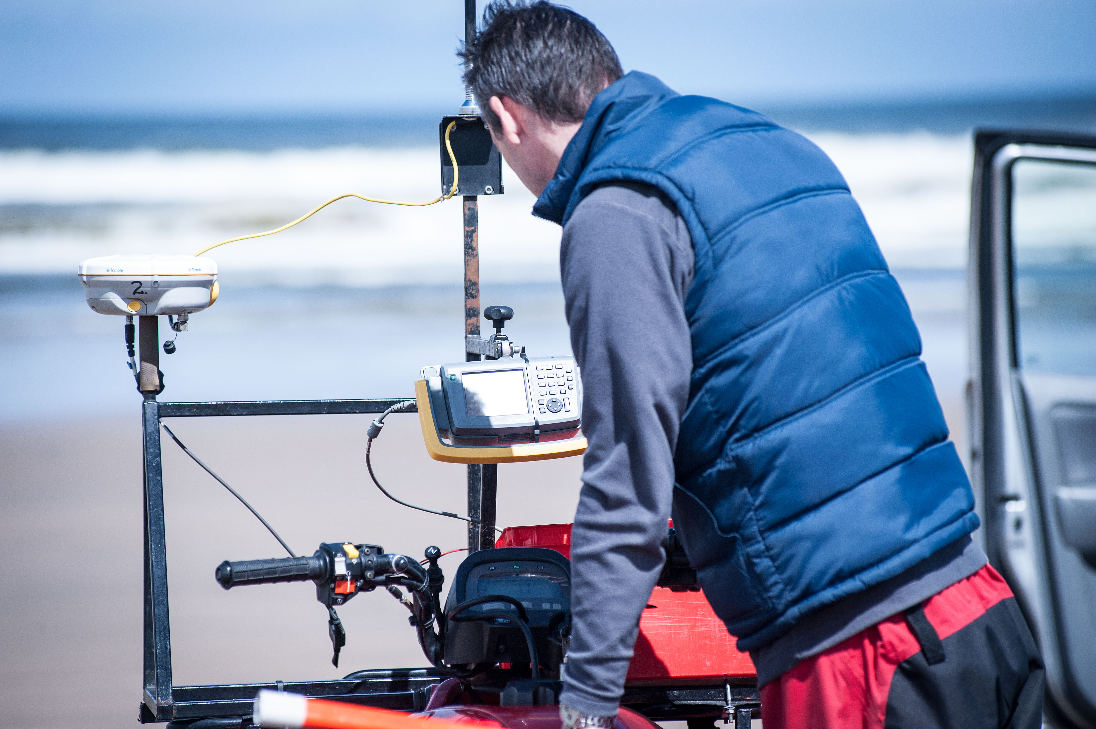
School of Geography and Environmental Sciences – fieldwork. Source: Ulster University
“I have taken this course to formalise and upskill my existing GIS abilities as well as develop new remote sensing skills,” says Twomey. “The main reason for choosing to enrol in UU’s programme was the reputation of the course and its pre-COVID online experience in its teaching structure.”
Twomey chose to complete the programme through an accelerated timeframe while balancing his full-time employment and personal life commitments. “[While difficult at times] the flexibility and communicative nature of the module coordinators allowed for these issues to be overcome when needed,” he says.
UU’s programme is highly supportive and flexible. The School has been providing high-quality distance-learning postgraduate courses for the past two decades — its tutors and web infrastructure are just as well established. They understand what working professionals need, which is why there are several exit points and the possibility of doing stand-alone modules as CPD option. Students can start the programme as a part-time course with an option to enrol for individual modules to accumulate the credits to earn a postgraduate certificate in one year or a postgraduate diploma in two years. Those seeking another year of studies can earn an MSc, which involves working on an individual research project with the support of a dedicated supervisor and e-tutor.
The programme develops skills in a range of areas. These include remote sensing and photogrammetry; analysis of active and passive remote sensing data; GIS, spatial data management and analysis; programming for GIS and remote sensing; and its applications in marine studies or environmental management. While each module has coursework deadlines, you study at a time and pace that suits you best.

You will be assessed by coursework only, so there are no formal examinations. Source: School of Geography and Environmental Sciences — Ulster University
“The lecture and practical materials were all uploaded at the beginning of each module so that you can choose when you go through the materials,” says Rachel Cribbin. “I also liked that in the part-time version of the course, we only studied for one module at a time (two modules total per semester) which allowed me to maintain focus on each module and not feel overwhelmed,” she added.
Students can access a learning platform for all materials, assignment instructions, links to electronic library resources and reading articles. Lecturers and e-tutors are available via discussion forums to encourage participation from the whole class and offer opportunities to learn from different perspectives and to get to know your fellow students better. There are no sessional examinations, only coursework assessments which use a mixture of methods including practical reports, problem analysis, research projects, presentations, blogs, online tests, and group work. MSc students produce a substantial independent research project, written up in the form of an academic paper, which may subsequently be considered for submission to a scientific journal.
For all the up-to-date knowledge, skills and advice you get, the programme is affordable. Students will not need to pay the fee for the entire course. Instead, they can pay per module, per semester, or per year as one progresses through the programme. “I specifically chose this course because it was about half the price of similar MSc courses,” says Rowan Moessner, who has completed PGDip and is working towards an MSc.
Another student Daniel Normandale agrees. “I looked at similar courses at other UK institutions and they were substantially more expensive but with less technical and employment skills content.”
UU graduates in this field do stand out — in fact, 100% of students develop employable skills in GIS and remote sensing. “Enrolling in this course is immensely beneficial for those aspiring to become GIS specialists,” says student Serenee Osman from Japan. “This well-recognised qualification will open doors to job opportunities worldwide, providing the flexibility to pursue employment anywhere on the globe.”
To join Ulster University’s School of Geography and Environmental Sciences, click here.
Follow GES on Instagram, X and YouTube.
Follow Ulster University on Facebook, Instagram, X, and YouTube.


